





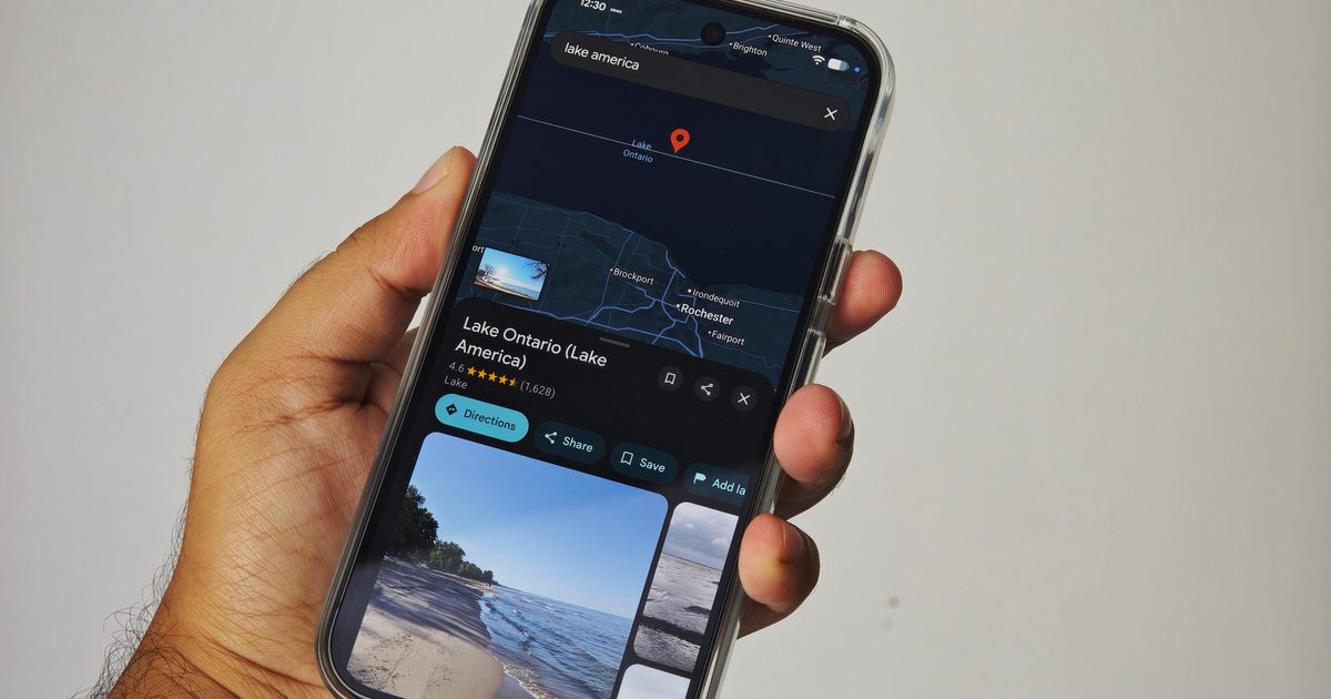
If you’re in the US and open Google Maps to go looking for Lake Ontario, something is going to look a little off. It’s now called Lake America. Google began rolling out the change after the US Geographic Names Information System formally changed the lake’s name following an executive order from President Donald Trump. Google says its longstanding policy is to reflect geographic names from official government sources.
The result is a map that changes depending on where you happen to be looking at it. US Google Maps users see Lake America. Canadians still see Lake Ontario. Everyone outside those two countries gets both, displayed as Lake Ontario (Lake America). Sound familiar yet?
Google has done this before
We went through almost exactly the same thing with the Gulf of Mexico in early 2025. After the US government changed its domestic designation to Gulf of America, Google Maps followed suit. Americans began seeing Gulf of America, Mexican users retained Gulf of Mexico–and most of the rest of the world saw both names. According to Google, it follows official government naming databases when regional names differ.
Google confirmed that same policy again for Lake Ontario this weekend. The circumstances are different, however. Lake Ontario forms part of the international border between the US and Canada, with Canadian territory running along much of its shoreline. The US name change does not alter what Canada officially calls it, nor does it determine the internationally accepted name.
Your map now depends on where you live
For most Google Maps users, it is almost instinctive to assume that the names in the app are fixed pieces of geography. In reality, Google has increasingly had to present different versions of the same map depending on local governments and disputed naming conventions. The Gulf of Mexico already demonstrated this perfectly.
Now one person looking at Google Maps from New York can see Lake America, while someone directly across the water in Ontario sees Lake Ontario. So rather than picking sides and deleting one and keeping the other, it is just localizing the map according to official naming sources in each country. Though having two people look at the same enormous lake and see two different names on the same app is going to take some getting used to.